


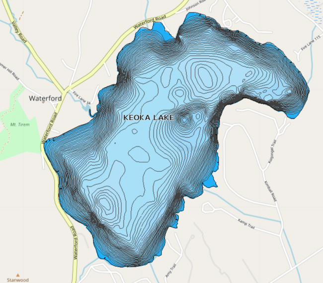
Keoka Lake has a public boat launch and public beach located on route 37, next to the public library.

Quick Facts:
Deepest Secchi
reading:
8.20 meters
Keoka Lake was originally called Thomas Pond, after Thomas Chamberlain who supposedly hid under a rock along the shore when he was chased by Native Americans. The northwestern side of the lake was settled in the late 1700s and soon became known as “The Flat.” Today, the lake is enjoyed by boaters, anglers, swimmers and sightseers. LEA first monitored Keoka Lake’s water quality on July 14, 1977. Only one visit was made that summer, but in 1980, Keoka Lake got added to our biweekly monitoring sites.
Keoka Lake’s gravel and boulder shoreline provides excellent habitat for both smallmouth and largemouth bass. Although brook trout are stocked annually, oxygen levels in the deep, cool water during August and September are often below levels needed to sustain a healthy trout population. Keoka also supports populations of yellow perch, chain pickerel, hornpout, smelt, eel, white sucker, minnows and pumpkinseed sunfish.
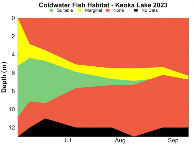
In early July, suitable oxygens levels for Coldwater fish are found between 5 and 9 meters. As the summer progresses, oxygen levels decrease. In August, the suitable oxygen levels are present at 7 meters, while marginal levels are seen between 5 and 7 meters. In September, Keoka Lake begins to mix, resulting in waters with primarily no habitable oxygen levels.
4 percent of soils in the watershed are type A soils. Type A soils tend to be well drained sands, loams, and gravels. When vegetation is removed and the soil is exposed they can be susceptible to erosion. Because they are often coarse with ample pore space, there is low runoff potential and water will not usually pool on them. These soils can be good places to site leach fields or infiltrate stormwater from a home or residence.
2 percent of soils in the watershed are type B soils. B soils have moderate infiltration rates and fine to moderate texture and soil size. They are usually made up silts and loams. Although not as well drained as A soils, they can also be good places to site leach fields and infiltrate stormwater.
71 percent of soils in the watershed are type C soils. C soils have low infiltration rates and typically have a layer that impedes the movement of water. These soils are made of sands, clays, and loams and are one of the most common soil types in western Maine.
2 percent of soils in the watershed are type D soils. D soils have a high runoff potential and very low infiltration rates. Soils with a high water table, clay or other impervious layer near the surface are typically D soils. These soils are often associated with wetlands.
10 percent of soils in the watershed are type C/D soils. C/D soils are a mix of these two soil types. They have fairly high runoff potential and low infiltration rates and often pool water. The remaining 11 percent of the watershed is taken up by the lake.
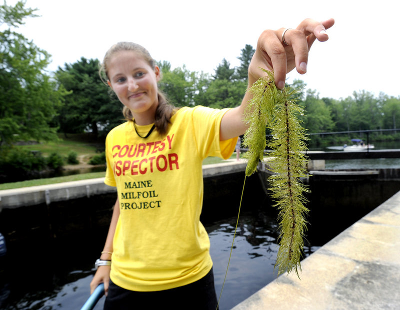
The Keoka Lake Watershed Project involved surveying, documenting and then fixing areas within the Keoka Lake Watershed that were eroding and causing a negative impact on Keoka’s water quality. During the survey portion, volunteers from the Keoka Lake Association and residents from within the watershed as well as staff from the Department of Environmental Protection, the Soil and Water Conservation District and LEA helped locate, map out and document 65 sites where erosion was occurring. This information was then compiled into the Keoka Lake survey report which functions as a landowner handbook and reference for future mitigation work. Based on evaluations made in the survey, priority sites were chosen and then construction and mitigation work began on these sites to correct ongoing erosion. As part of this project, water quality improvements were completed on Plummer Hill Road, Mill Hill Road, the Johnson Road, Loon Echo Drive, Kimball Trail, Keoka Campground, the Hawk Mountain access road, at the boat launch and on individual lots.

 CBI Program
 Open Water Quality Monitoring